weather forecast
Weather Alert: Heavy Rain Likely Across Several States as Bay of Bengal System Moves Inland
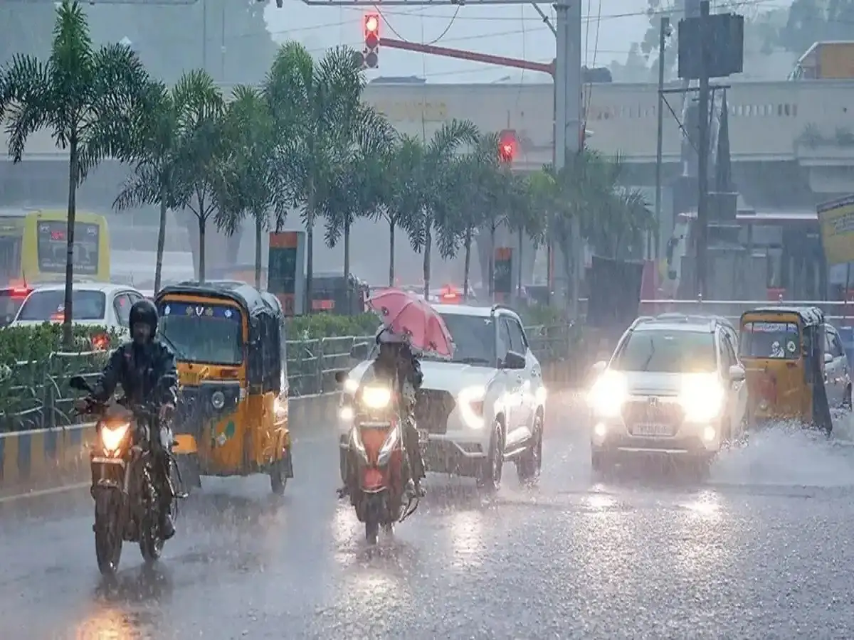
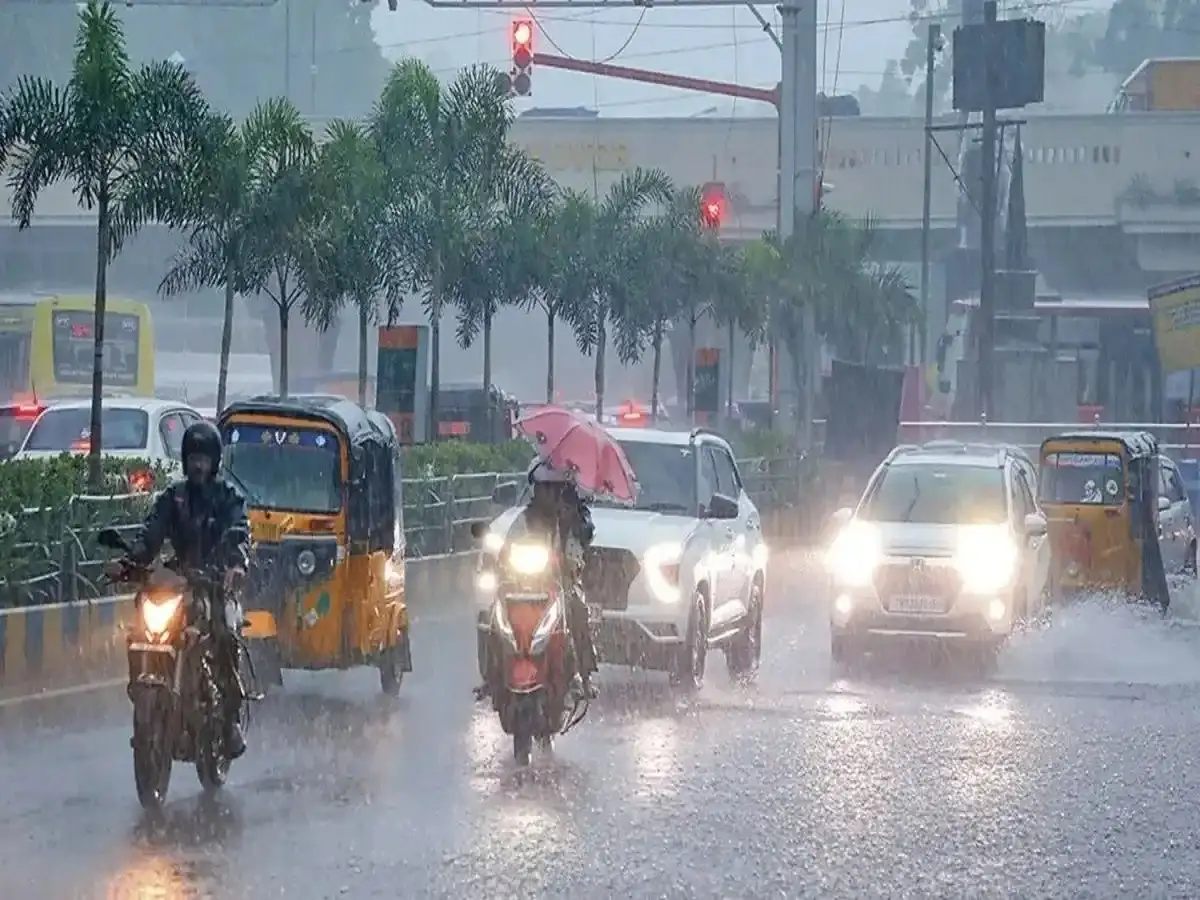
Weather conditions are expected to remain unsettled across several parts of India on September 25, 2026, with heavy rainfall, thunderstorms and gusty winds forecast in parts of eastern and central India as a weather system that originated over the Bay of Bengal continues moving inland.
The India Meteorological Department (IMD) has been closely monitoring the system, which intensified into a deep depression before crossing the north Andhra Pradesh coast near Kalingapatnam late on September 23 and early September 24.
By September 24, the system had moved over north coastal Andhra Pradesh and adjoining south Odisha and was expected to continue moving north-northwestwards while gradually weakening.
Despite the weakening trend, its influence is expected to continue producing significant rainfall over parts of Odisha, Andhra Pradesh and neighbouring states.
Bay of Bengal System Moves Inland After Crossing Coast
The deep depression crossed the coast close to southwest of Kalingapatnam in Andhra Pradesh between late September 23 and early September 24.
After landfall, the system moved northwestwards across north coastal Andhra Pradesh and adjoining south Odisha.
IMD's coastal bulletin issued on September 24 indicated that the system was expected to weaken gradually while continuing its movement towards the north-northwest.
This means the main concern has shifted from coastal landfall to the rainfall and wind impact associated with the system as it travels inland.
Heavy Rain Threat Continues Over Eastern and Central India
The weather system is expected to keep rainfall activity elevated across parts of eastern and central India.
Odisha and north coastal Andhra Pradesh remain among the areas requiring particular attention. Heavy rainfall is also possible in parts of Chhattisgarh and adjoining regions as the system moves farther inland.
According to the latest forecasts, heavy to very heavy rainfall may continue in parts of Odisha, while isolated heavy rainfall is possible over north coastal Andhra Pradesh on September 25.
Thunderstorms and gusty winds could accompany the rain in some areas.
Residents should follow district-level forecasts because rainfall intensity can vary considerably even within the same state.
Odisha and Andhra Pradesh Remain Under Watch
Coastal and southern Odisha have experienced significant rainfall associated with the weather system.
IMD's coastal bulletin had warned of rain or thundershowers at most places along the Odisha coast, with very heavy rainfall possible at isolated locations.
Conditions along the north Andhra Pradesh coast have also remained unsettled. Widespread rainfall and isolated heavy spells were forecast as the system moved inland.
People living in areas prone to waterlogging or flooding should keep track of instructions issued by local administrations.
Rough Sea Conditions Have Also Been a Concern
The weather system has produced rough to very rough sea conditions along parts of the Andhra Pradesh and Odisha coastline.
Strong winds accompanied the system around the time of landfall, and coastal weather bulletins warned of squally conditions.
Fishermen and people involved in marine activities should follow the latest official coastal advisories rather than relying on older forecasts, as wind and sea warnings can change quickly as the system weakens and moves inland.
Rain Expected in Several Other Parts of India
The broader weather pattern may also bring rain and thunderstorms to parts of other states.
Forecasts around September 25 have indicated unsettled weather across sections of Chhattisgarh, Telangana, Jharkhand, Bihar and West Bengal, in addition to Odisha and Andhra Pradesh.
Some parts of northern and northwestern India may also experience localised rain or thunderstorm activity.
However, the intensity and geographical coverage are not uniform across all these regions. A nationwide claim that exactly “17 states” will receive torrential rain should therefore be treated cautiously because alerts differ by state, district and rainfall category.
Delhi-NCR Forecast Needs Local Updates
Weather conditions in Delhi-NCR can differ substantially from those affecting eastern India.
While some forecasts have indicated the possibility of localised rainfall or thunderstorms in parts of north India, residents should check the latest city-specific IMD forecast before making travel plans.
The retreat of the southwest monsoon has already begun from parts of northwestern India, which can result in considerable day-to-day variation in rainfall activity.
Rajasthan May See Localised Weather Activity
Parts of Rajasthan may also experience changing weather conditions, although rainfall is unlikely to be uniform across the state.
Local forecasts should be checked for cities such as Jaipur, Kota, Udaipur, Bharatpur and other districts where thunderstorm or rainfall activity may develop.
People should avoid assuming that a state-level rain forecast means every district will experience heavy rainfall.
Extra Caution Needed in Hilly Areas
Rainfall in mountainous regions can increase the risk of landslides, falling rocks and temporary road closures.
People travelling through vulnerable parts of Uttarakhand, Himachal Pradesh or Jammu and Kashmir should check road and weather conditions before beginning their journey, particularly when thunderstorms or heavy rainfall are forecast.
During intense rain, travellers should avoid landslide-prone slopes, overflowing streams and waterlogged roads. Outdoor activity should also be limited during lightning and thunderstorms.
What Residents Should Do During Heavy Rain
People in affected areas should keep track of official IMD and local administration warnings, especially if heavy rainfall is expected in their district.
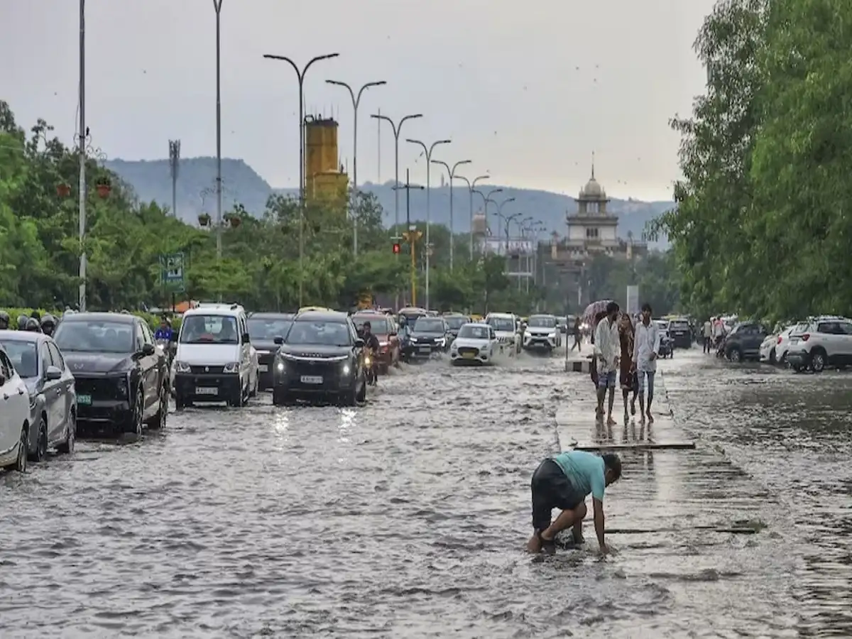
Avoid crossing flooded roads or underpasses, stay away from swollen rivers and drains, and do not take shelter under isolated trees during lightning.
Coastal residents should follow marine warnings, while those living in low-lying locations should remain alert for waterlogging or sudden increases in local water levels.
The key weather story for September 25 is the inland movement and gradual weakening of the former deep depression, rather than an approaching landfall. Even as the system weakens, heavy rainfall can continue over parts of Odisha, Andhra Pradesh and adjoining central and eastern India, making local IMD warnings important for residents and travellers.