weather forecast
Weather Alert: Heavy Rain Forecast Across Several States, Strong Winds May Reach 80 Kmph
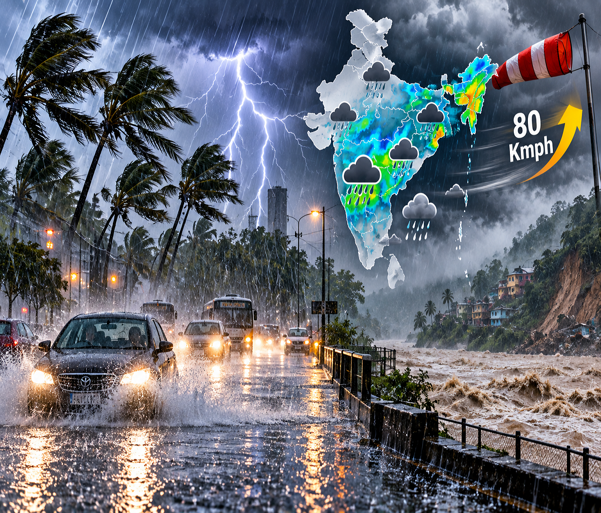
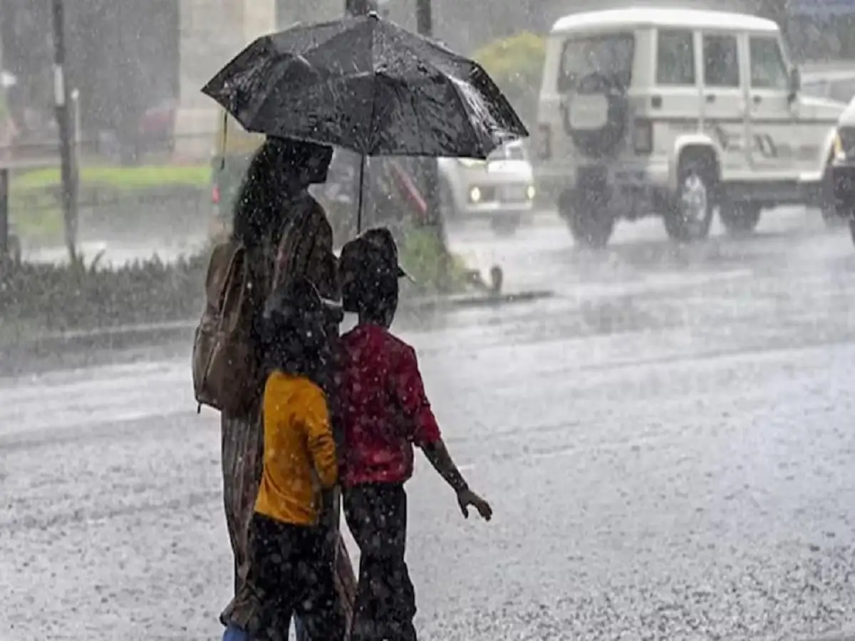
Weather conditions could remain unsettled across several parts of India on September 29, with forecasts indicating rain, thunderstorms, lightning and strong winds in multiple regions. As the monsoon season moves toward its withdrawal phase, residents in affected areas have been advised to keep track of local weather warnings and take precautions during intense spells of rain and thunderstorms.
The India Meteorological Department (IMD) continues to publish rainfall forecasts and district- and subdivision-level warnings for September 29 and the days ahead.
According to the weather information cited in the report, rain or thunderstorm activity is expected across parts of northern, eastern, northeastern, central and southern India. Some areas could experience intense rainfall, while strong winds associated with thunderstorms may reach 70-80 kmph in vulnerable pockets.
People should note that weather warnings can vary considerably from one district to another and may be updated as conditions develop.
Rain and Thunderstorms Forecast Across Several States
The forecast cited for September 29 includes possible rain and thunderstorms across areas of Uttar Pradesh, Delhi, Bihar, Jharkhand, Odisha, Rajasthan, Haryana, Uttarakhand, Himachal Pradesh, Jammu and Kashmir, Ladakh, West Bengal, Chhattisgarh, Telangana, Andhra Pradesh, Assam, Meghalaya, Tripura, Nagaland, Sikkim, Tamil Nadu and Gujarat.
Some locations could receive heavier spells of rainfall, while thunderstorms may bring lightning and gusty winds.
Wind speeds could potentially reach 70-80 kmph in areas experiencing stronger thunderstorm activity, according to the forecast cited in the source report.
Mountainous regions require additional caution during prolonged or intense rainfall because landslides and falling rocks can disrupt roads and pose risks to travellers.
Fishermen and coastal communities should also follow the latest official marine weather advisories before heading out to sea.
Delhi Weather: Rain May Continue Into September 30
Delhi could experience rain and thunderstorm activity from September 29 into September 30.
According to the forecast cited in the report, gusty winds of around 40-50 kmph may accompany some spells of rain or thunderstorms.
The temperature in Delhi on September 29 is expected to remain around 32°C at the higher end, while the minimum could be close to 23°C.
Actual conditions can differ across Delhi-NCR, particularly during localised thunderstorms. Residents should therefore check short-term IMD warnings if dark clouds, lightning or strong winds develop in their area.
Uttar Pradesh Weather: Several Districts Could See Rain
A large number of districts in Uttar Pradesh may experience rain, thunderstorms or gusty winds.
The areas mentioned in the forecast include Prayagraj, Gorakhpur, Deoria, Shamli, Ayodhya, Lucknow, Kanpur, Balrampur, Jhansi, Bijnor, Barabanki, Bahraich, Hardoi, Bareilly, Mainpuri, Basti, Kasganj, Etah, Bulandshahr, Kannauj, Fatehpur, Meerut, Gautam Buddh Nagar, Ghaziabad, Moradabad and Azamgarh.
Some of these areas could experience surface winds of around 40-50 kmph during thunderstorm activity.
Lucknow's temperature is expected to reach around 32°C, while the minimum could remain near 23°C.
Because thunderstorm conditions can change quickly, residents should avoid sheltering under isolated trees during lightning and stay away from weak structures during strong winds.
Rajasthan May Also See Another Spell of Rain
Parts of Rajasthan could witness renewed rain and thunderstorm activity.
According to the forecast cited in the report, Jaipur, Udaipur, Baran, Churu, Kota, Dausa, Barmer, Bhilwara, Bharatpur, Jaisalmer and Alwar are among the areas where moderate to heavy rain may occur.
Strong winds could accompany the weather system, with speeds potentially reaching around 50 kmph in some locations.
Jaipur is expected to record a maximum temperature of around 33°C on September 29, while the minimum could be close to 22°C.
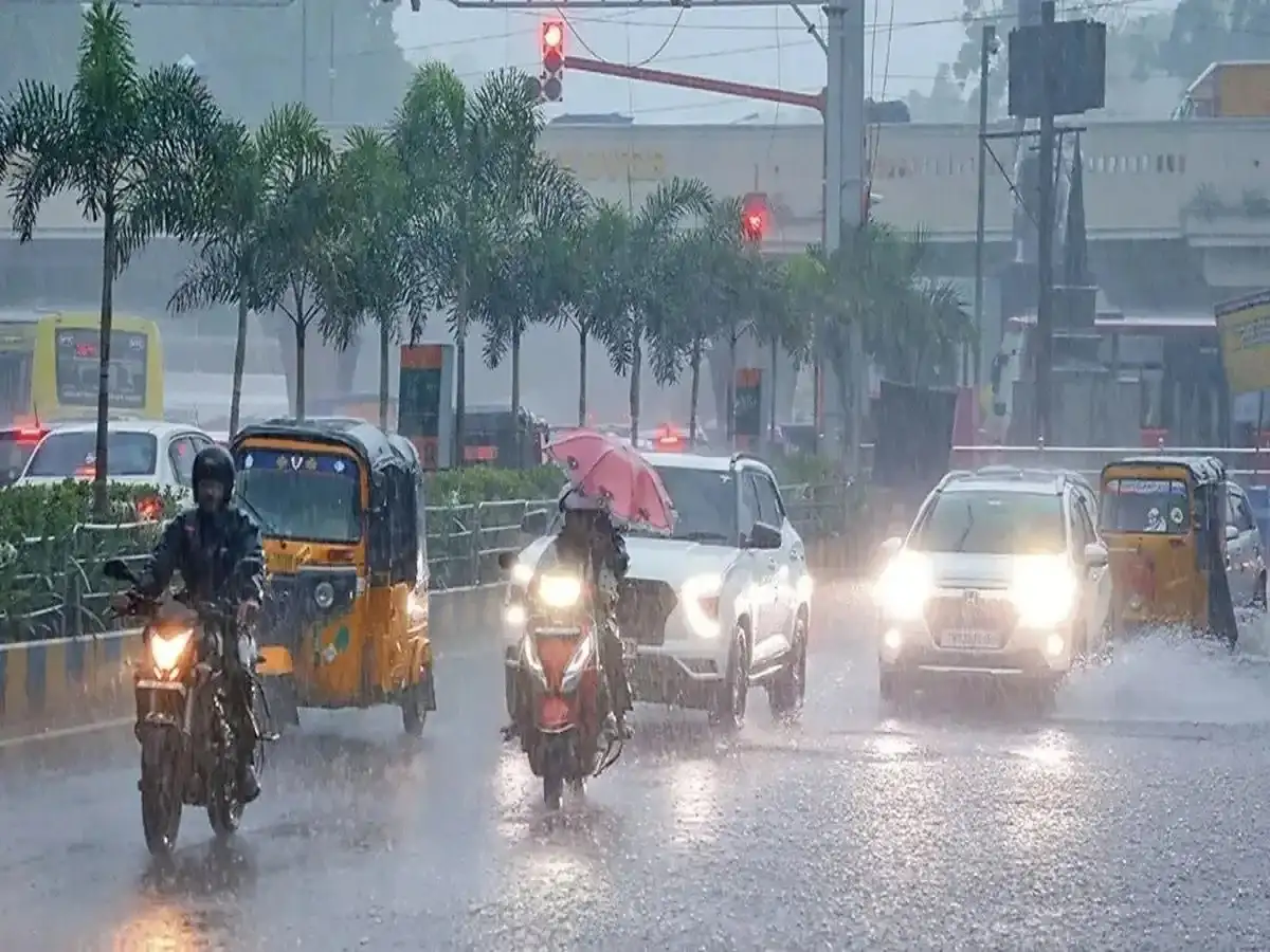
Drivers should exercise additional caution if heavy rainfall causes waterlogging or reduces visibility.
Northeast India Also Faces Unsettled Weather
The northeastern states are another region to watch as moisture and atmospheric circulation could support rainfall and thunderstorms.
Assam, Meghalaya, Tripura, Nagaland and Sikkim are among the states included in the broader rain forecast cited for September 29.
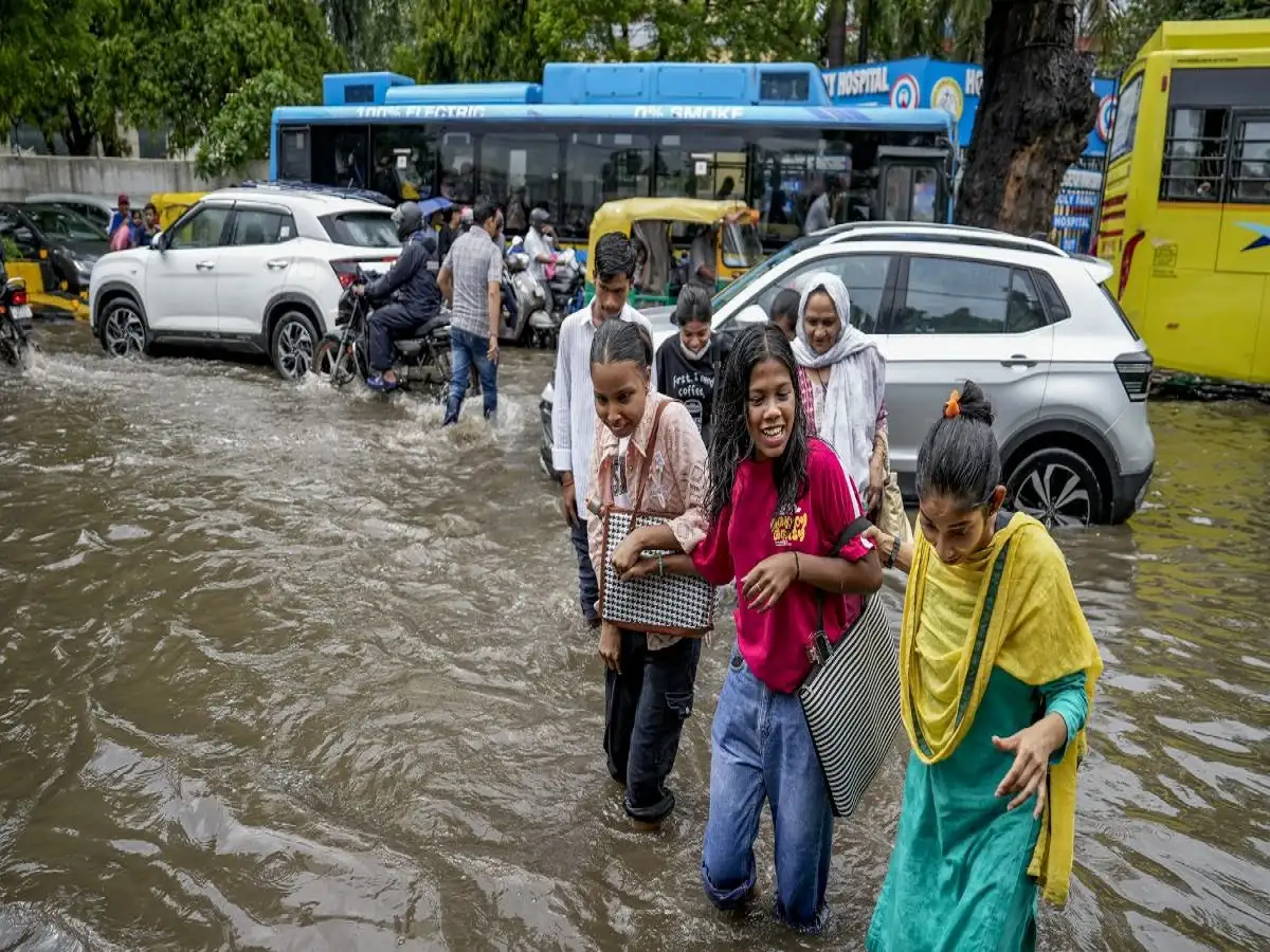
Heavy rainfall in hilly terrain can increase the possibility of localised landslides, road blockages and overflowing drains or streams. Residents travelling through vulnerable areas should therefore follow district administration and weather department advisories.
What Is Driving the Unsettled Weather?
The report attributes the weather activity partly to atmospheric systems affecting northern and eastern India.
A north-south trough extending from Bihar toward the west-central Bay of Bengal, along with upper-air cyclonic circulations around northeastern Assam and western Uttar Pradesh, has been cited as contributing to unstable weather.
Such systems can support moisture convergence and thunderstorm development, increasing the possibility of rain over surrounding areas.
The exact location and intensity of rainfall, however, can change as these systems evolve.
Farmers Advised to Remain Cautious
Repeated rain across parts of northern and eastern India can create difficulties for standing crops, particularly if intense rainfall is accompanied by strong winds.
Farmers in areas under weather warnings should follow local agrometeorological advisories and take practical steps to protect harvested produce and agricultural equipment from rain.
Water accumulation in fields can also become a concern after repeated heavy spells, depending on crop type and local drainage conditions.
Check Local Warnings Before Travelling
Weather conditions are not expected to be identical across every district within the states mentioned in broader forecasts. One location may receive intense rainfall while another nearby area experiences only light showers.
Residents should therefore rely on the latest district-level IMD warnings before travelling, particularly in mountainous areas or locations prone to waterlogging.
During thunderstorms, people should move indoors, avoid open fields and isolated trees, and stay away from damaged electrical infrastructure.
With rain, lightning and strong winds possible across several parts of the country, monitoring updated forecasts remains important as weather conditions develop through September 29 and into September 30.