weather forecast
Weather Alert for August 24: Heavy Rain, Thunderstorms and Strong Winds Forecast Across Several States

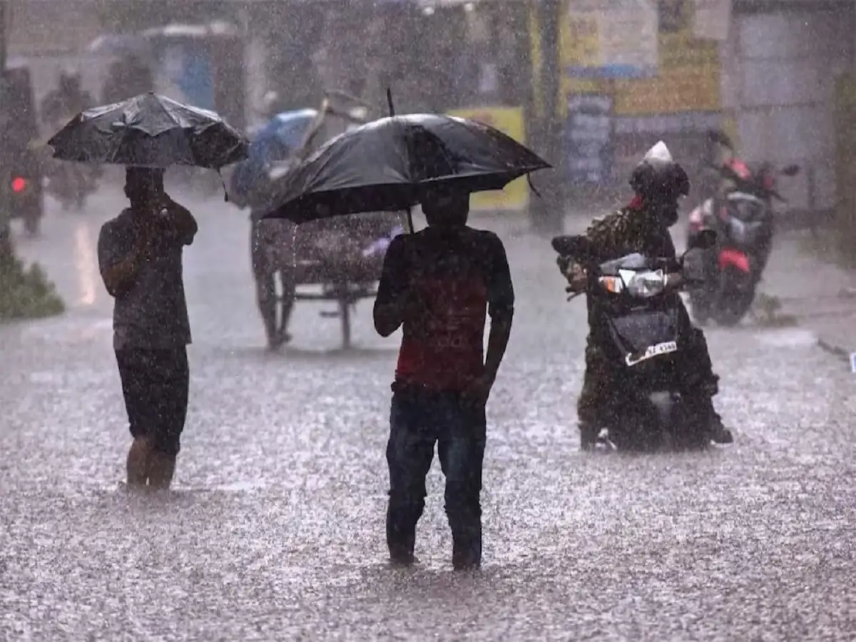
India is set to witness another spell of intense monsoon activity on August 24, 2026, with heavy rainfall, thunderstorms and strong winds expected across several parts of the country. According to the latest weather forecast, many states in north, east, central, west and northeast India could experience significant rainfall along with gusty winds during the day.
The weather conditions may become particularly challenging in some regions, where wind speeds could rise to around 80-85 kmph. Authorities have also warned about the possibility of lightning, localised flooding and landslides in vulnerable areas.
People living in rain-prone and hilly regions have been advised to remain cautious, especially during periods of intense rainfall. Fishermen should also avoid venturing into rough waters where adverse weather conditions are expected.
Heavy Rain and Thunderstorm Risk Across Multiple States
Rain and thunderstorm activity is expected across a wide geographical area on August 24. Uttar Pradesh, Bihar, Delhi, Rajasthan, Haryana, Uttarakhand, Punjab, Himachal Pradesh, Jammu and Kashmir, Jharkhand, West Bengal, Odisha, Chhattisgarh, Madhya Pradesh, Gujarat and Maharashtra are among the regions likely to experience unsettled weather.
Several northeastern states, including Assam, Meghalaya, Tripura, Nagaland, Mizoram and Sikkim, may also receive heavy showers.
Parts of Tamil Nadu, Kerala and Andhra Pradesh could witness rain and thunderstorms as well.
Strong winds associated with thunderstorms may damage weak structures, tree branches and standing crops in isolated areas. Lightning could also pose a risk in eastern and central India.
Delhi Weather on August 24
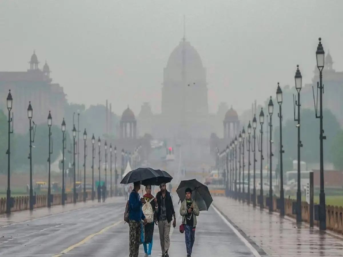
Delhi is likely to experience cloudy conditions accompanied by rain and thunderstorms on August 24.
Wind speeds could reach around 50-60 kmph during stronger thunderstorm spells. Commuters may face waterlogging and slower traffic movement in low-lying areas if heavy showers occur within a short period.
The maximum temperature in Delhi is expected to remain near 34 degrees Celsius, while the minimum could be around 28 degrees Celsius.
Residents are advised to keep track of local weather updates before travelling, particularly during periods of intense rain.
Uttar Pradesh Weather Forecast
Several districts of Uttar Pradesh could receive heavy rainfall along with thunderstorms.
Areas likely to be affected include Meerut, Gautam Buddha Nagar, Ghaziabad, Moradabad, Aligarh, Agra, Jhansi, Mathura, Kanpur, Gorakhpur, Ayodhya, Prayagraj, Badaun, Azamgarh, Etawah, Lalitpur, Varanasi, Mahoba, Sonbhadra and Bijnor.
Lucknow may record a maximum temperature close to 33 degrees Celsius and a minimum of around 28 degrees Celsius.
Localised waterlogging and traffic disruption may occur if heavy rainfall continues for an extended period.
Bihar Could See Heavy Rain and Gusty Winds
Several parts of Bihar are also under the risk of strong rain and thunderstorm activity.
Gopalganj, Saran, Siwan, Patna, Gaya, West Champaran, East Champaran, Jehanabad, Buxar, Bhojpur, Vaishali, Samastipur, Darbhanga, Madhubani, Saharsa, Supaul, Purnia, Kishanganj, Araria, Bhagalpur, Munger, Lakhisarai and Begusarai may witness intense showers.
Wind speeds during thunderstorms could reach 50-60 kmph in some places.
Patna is expected to see a maximum temperature of around 34 degrees Celsius, while the minimum may remain near 28 degrees Celsius.
Jharkhand May Experience Strong Thunderstorms
Rainfall and thunderstorms are expected across several districts of Jharkhand on August 24 and 25.
Hazaribagh, Jamshedpur, Bokaro, Dhanbad, Seraikela, Palamu, Gumla, Dumka, Simdega, Ramgarh, Chatra, Deoghar, West Singhbhum and East Singhbhum could be affected.
Wind speeds may reach nearly 70 kmph during intense thunderstorm activity.
Ranchi is expected to remain relatively cooler, with the maximum temperature around 27 degrees Celsius and the minimum near 24 degrees Celsius.
Uttarakhand Faces Rain and Landslide Concerns
Heavy showers are likely across several parts of Uttarakhand.
Almora, Chamoli, Rudraprayag, Pithoragarh, Nainital, Haridwar, Rishikesh, Pauri Garhwal, Uttarkashi, Champawat and Tehri Garhwal are among the regions where rain and thunderstorms may occur.
Wind speeds could reach 40-50 kmph.
In hilly areas, prolonged rainfall may increase the possibility of landslides, falling rocks and road blockages. Travellers should therefore check road and weather conditions before heading towards mountain routes.
Dehradun may record temperatures between approximately 24 and 29 degrees Celsius.
Himachal Pradesh Under Rain and Storm Watch
Himachal Pradesh could also witness another round of heavy monsoon showers.
Kullu, Mandi, Sirmaur, Kangra, Hamirpur, Una, Kinnaur, Solan, Bilaspur and Lahaul-Spiti may experience heavy rain accompanied by strong winds.
Gusts could reach around 60-65 kmph in some areas.
Manali is expected to remain considerably cooler than the plains, with the daytime temperature near 17 degrees Celsius and the minimum around 8 degrees Celsius.
Tourists travelling through mountainous areas should remain alert to the possibility of landslides and temporary road closures.
Jammu and Kashmir Weather Outlook
Heavy rain and thunderstorms are also possible across parts of Jammu and Kashmir.
Jammu, Reasi, Rajouri, Bandipora, Ganderbal, Poonch, Kupwara, Kishtwar, Anantnag, Baramulla and Udhampur are among the places likely to experience unsettled weather.
Strong winds may reach around 70-75 kmph in isolated areas.
Srinagar could see a maximum temperature of nearly 29 degrees Celsius and a minimum of around 17 degrees Celsius.
West Bengal to See Rain and Thunderstorms
Several districts of West Bengal could experience heavy rainfall accompanied by thunderstorms.
Malda, Howrah, Kolkata, Alipurduar, Darjeeling, Purba Bardhaman, Paschim Medinipur, Cooch Behar, Bankura, Kalimpong, Jalpaiguri and Durgapur may receive significant rainfall.
Wind speeds could rise to 60-65 kmph during stronger storms.
Kolkata is likely to record a maximum temperature near 32 degrees Celsius and a minimum around 28 degrees Celsius.
Punjab Likely to Receive More Rain
Rainfall and thunderstorms are expected over parts of Punjab on August 24 and 25.
Amritsar, Bathinda, Chandigarh, Ludhiana, Faridkot, Firozpur, Hoshiarpur, Kapurthala, Sangrur, Fazilka, Jalandhar, Moga and Mansa may experience heavy showers.
Strong winds of around 60-65 kmph could accompany thunderstorms in some areas.
Residents should remain cautious around trees, electric poles and temporary structures during intense wind activity.
Rajasthan Weather Alert for August 24
Several parts of Rajasthan may also witness rain and thunderstorm activity.
Jhalawar, Baran, Bikaner, Kota, Jaipur, Churu, Ajmer, Udaipur, Bharatpur, Jaisalmer, Jalore, Karauli, Sri Ganganagar, Chittorgarh, Hanumangarh, Pali, Rajsamand, Balotra and Deeg are among the districts likely to be affected.
Wind speeds may reach 40-50 kmph during thunderstorm activity.
Jaipur is expected to see a maximum temperature of around 34 degrees Celsius and a minimum close to 27 degrees Celsius.
Madhya Pradesh Weather Forecast
A number of districts in Madhya Pradesh may receive heavy showers on August 24.
Mandla, Hoshangabad, Khandwa, Seoni, Khargone, Sidhi, Alirajpur, Dhar, Gwalior, Ashoknagar, Ujjain, Agar Malwa, Mandsaur, Ratlam, Narsinghpur, Bhopal, Indore, Datia and Shivpuri could witness rain and gusty winds.
Wind speeds may touch around 50 kmph in some locations.
Bhopal is likely to record a maximum temperature of approximately 28 degrees Celsius and a minimum near 24 degrees Celsius.
Expected Temperatures in Major Cities
| City | Maximum Temperature | Minimum Temperature |
|---|---|---|
| Delhi | 34°C | 28°C |
| Mumbai | 30°C | 28°C |
| Chennai | 34°C | 27°C |
| Kolkata | 32°C | 28°C |
| Lucknow | 33°C | 28°C |
| Patna | 34°C | 28°C |
| Ranchi | 27°C | 24°C |
| Bhopal | 28°C | 24°C |
| Jaipur | 34°C | 27°C |
| Shimla | 27°C | 19°C |
| Nainital | 26°C | 21°C |
Safety Advice During Severe Monsoon Weather
People in areas expecting heavy rain should avoid unnecessary travel during intense thunderstorms. Driving through flooded roads or forested stretches during strong winds can be dangerous.
Residents should stay away from damaged electric poles, waterlogged areas and large trees when thunderstorms are active. Farmers may also need to take precautions to protect standing crops from strong winds, hail and excessive rainfall.
In mountainous regions, travellers should remain alert for landslides and road disruptions. Fishermen and people living close to rivers or coastal areas should follow local advisories before entering the water.
With active monsoon systems continuing to influence several parts of India, weather conditions may change quickly. Checking official local forecasts before travelling can help people avoid weather-related disruptions and stay prepared for heavy rain, lightning and strong winds.